Practical Sessions - Bilko
The current Bilko computer-based learning module, Applications of Satellite and Airborne Image Data to Coastal Management, is the seventh to be issued since 1989.
UNESCO's intent is to make available a series of free, interactive lessons designed to explain how satellite, airborne and in situ imagery can be used and interpreted.
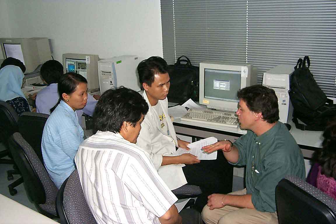
For the practical sessions, students worked in groups of two or three per computer. Here Dr. Donlon goes through some of the course material with a group of students from Vietnam.
Back