|
|
|
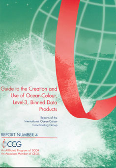
IOCCG is pleased to announce that Report Number 4 entitled "Guide to the Creation and Use of Ocean-Colour, Level-3, Binned Data Products" is hot off the press and will be distributed within the next few weeks. This new report was produced by the IOCCG working group on Data-Binning Issues, chaired by Dr. David Antoine (Laboratoire d' Oceanographie de Villefranche). The group examined the diversity in current binning schemes used for ocean-colour data and assessed the impact of having different schemes. Eight authors contributed to writing the report, and they concluded that it was important to avoid introducing artefacts when merging data sets from different sensors, resulting from incompatibilities in time or space scales. They also recommended a basic approach that could be used across Agencies - essentially the one used by the SeaWiFS and MODIS missions, with specific modifications. All subscribers on the IOCCG mailing list will automatically receive a copy of the report (by surface mail) within a few months. A PDF version of the report is available on the IOCCG webpage, and copies of the report can also be requested on-line.
A one-day workshop entitled "In-flight Calibration of Satellite Ocean-Colour Sensors" will be held on Saturday, 30 October 2004 (8:30h to 16:00h) in Fremantle, Australia, following the Ocean Optics XVII conference. The workshop's convenors are Dr. Robert Frouin, Scripps Institution of Oceanography, and Prof. Mervyn J. Lynch, Curtin University, Australia. The workshop's objectives are to discuss the status of ocean-colour sensor radiometric calibration, in terms of requirements, methods proposed and used (including applications), and to elaborate upon recommendations. Calibration experts and representatives of international space agencies will give a number of invited talks. The workshop is open to all members of the international ocean-colour community. Please contact Dr. Robert Frouin if you'd like to attend. See the full announcement for further information on the workshop.
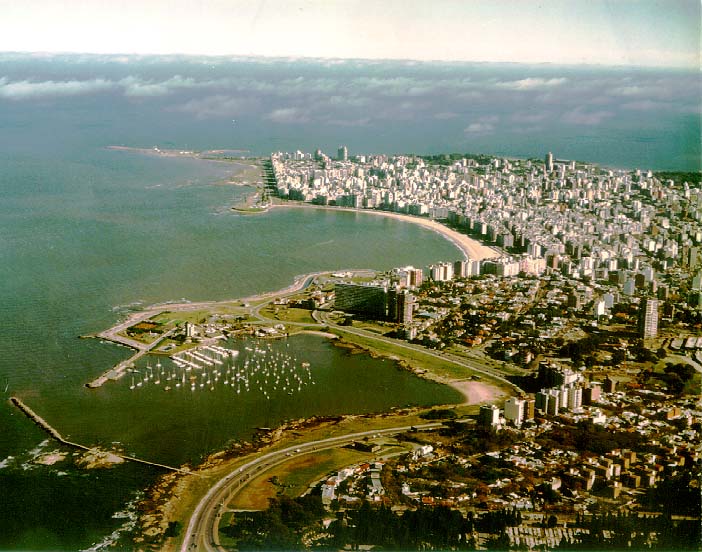
An advanced course on "Remote Sensing of Ocean Colour in Open, Coastal, and Estuarine waters" will be held from 24 January to 4 February 2005 at the Facultad de Ciencias, Universidad de la República, Uruguay. The course is open to scientists, technicians, graduate students, and post-doctoral fellows involved in any aspect of ocean-colour research. The course will carry graduate credits from the Universidad de la República, and is sponsored by the IOCCG and the Facultad de Ciencias, Universidad de la República. To facilitate participation by students outside of Uruguay and within Latin America, scholarships will be awarded to successful applicants. The deadline for applications is 8 October 2004. See the Training & Education section of the IOCCG website for the full announcement.
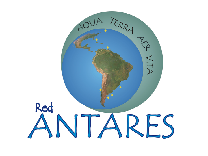
The dates for the Second ANTARES workshop, to be sponsored by IOCCG and POGO, have been finalized. The meeting will take place from 11-15 January 2005 on Margarita Island, Venezuela and will be coordinated by Dr. Vivian Lutz of Argentina. ANTARES is a network that aims to bring together groups who are working on biological time series stations in the waters around South America. It has an ocean-colour remote-sensing component, as well as in-situ and modelling components. At the workshop, participants will review major long-term scientific objectives, with the aim of submitting proposals for funding to international funding agencies. They will also decide on the most important variables to be measured at the time series stations, to be used for the calibration and validation of satellite data.
 
A training programme entitled "Calculation of Regional-Scale Primary Production for Indian Ocean Waters, and Applications to Ecosystem Dynamics" will take place at the National Institute of Oceanography, Kochi, India. The course will be conducted in two parts: Part I will take place in December 2004 (nominal, duration one month) and Part II in February - March 2005 (nominal, duration two months). The course forms part of the Nippon Foundation/Partnership for Observation of the Global Oceans Visiting Professorship and Associated Training Opportunity. The course will be aimed at doctoral students and young researchers with a leaning towards quantitative analyses of biological data from the marine environment, and an interest in physical-biological interactions. The course is seen as the beginning of a long-term, sustained effort at capacity building in the region. The activities of the participants will be monitored for some years after the end of the course. It is also anticipated that the strongest participants will have further opportunities for advanced training and scientific exchange with centres of excellence in India and abroad. Further details of the training course can be found in the Training and Education section of the IOCCG webpage.
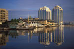
A number of conferences have been added to the IOCCG Workshops & Conferences webpage, including the 8th International Conference on Remote Sensing for Marine and Coastal Environments. This symposium is scheduled for 17-19 May 2005 in Halifax, Nova Scotia, Canada. This conference is being organized by the Altarum Institute (formerly ERIM), in collaboration with the Alliance for Marine Remote Sensing (AMRS). The conference will focus on integration of remote sensing and in situ data, local and regional models and non-spatial data for marine and freshwater coastal assessments and resource management. See the conference website for further details.
|
The Envisat Symposium was held in Salzburg, Austria from 6 to 10 September 2004. The symposium attracted a total of 1148 participants from many different countries, and provided a forum for investigators to present results of on-going research project activities and assess the development of applications and services. The Envisat satellite has been working almost perfectly since its launch, with its ground segment data distribution capabilities increasing steadily in line with growing user expectations, with online near-real time distribution made possible thanks to the intensive use of the Artemis communication satellite - more than 50% of Envisat data are now transmitted via Artemis. For the future, Envisat will remain a crucial part of the joint ESA-European Commission Global Monitoring for Environment and Security (GMES) initiative to develop an independent planetary monitoring capability. The spacecraft's individual instruments are inspiring the design of the new generation of operational satellites at the centre of the space segment of GMES - known as the Sentinels. With tried-and-tested sensors required to ensure operational readiness, the first Sentinel is planned to carry a Synthetic Aperture Radar, the second a multispectral imager along the lines of MERIS.
Taking advantage of the on-going MERIS data re-processing, a number of demonstration MERIS Level 3 products have been generated. The first set of products available are the global ocean Chlorophyll concentrations measured by MERIS throughout the year 2003. Other demonstration MERIS Level 3 products (e.g. water vapour, Aerosols optical thickness, vegetation index) will be made available during the next few months. The demonstration data set can be accessed on the Envisat website .

The GES DISC Online Visualization and ANalysis Infrastructure (Giovanni) was recently released to the public for the utilization of SeaWiFS 9-km resolution monthly data products. Giovanni enables researchers to perform basic data visualizations and analyses without the need to download any data first! Giovanni can display data as area plots, time plots, Hovmoller diagrams, and month-by-month animations. The URL for Giovanni is: http://reason.gsfc.nasa.gov/Giovanni/. A users' forum for Giovanni can be found at:
The latest Science Focus article entitled "After the SOIREE: Testing the Limits of Iron Fertilization" looks at the results from two recent iron fertilization experiments, SERIES and SOFeX. Fortunately, MODIS and SeaWiFS were able to capture images of the phytoplankton blooms created by each experiment. To view the
full article, go to:
NASA's Ocean Color Forum now provides monthly updates of various analyses and evaluations that have been conducted in attempts to improve the MODIS Aqua data quality, assist the algorithm working groups (AOP, chlorophyll, etc.) in testing algorithms for possible future incorporation into the operational processing, and other noteworthy items. The latest report can be viewed at: http://ocforum.gsfc.nasa.gov/viewtopic.php?t=294
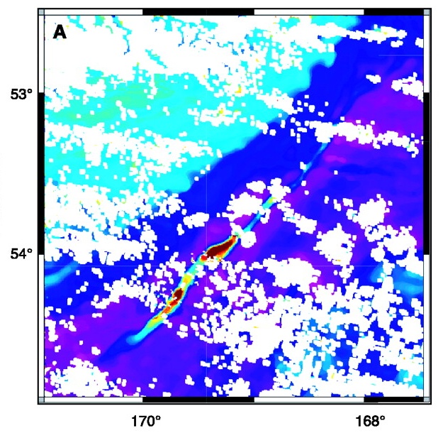
Several new references have been added to the Recent Ocean-Colour References section of the IOCCG website, including one by Chuanmin Hu et al. entitled "Linkages between coastal runoff and the Florida Keys ecosystem: A study of a dark plume event". The authors used fluorescence data from the MODIS instruments aboard both NASA's Terra and Aqua satellites. These sensors have the necessary wavebands to detect phytoplankton fluorescence from chlorophyll-a, which can be used to help identify whether phytoplankton are present in large dark water patches that form off the coast of Florida. Without these data, it is impossible to distinguish phytoplankton blooms from plumes of dark river runoff that contain few individual phytoplankton cells. Previous studies have shown that prolonged "black water" patches cause water quality degradation and may cause coral death. The use of ocean-colour satellites provides effective means for monitoring and predicting such events. Another recent article by Babin et al. entitled "Satellite evidence of hurricane-induced phytoplankton blooms in an oceanic desert" published in the Journal of Geophysical Research, shows that hurricanes can help to induce phytoplankton blooms in oligotrophic oceans. Hurricane-induced upwelling can help bring cooler, nutrient-rich water to the surface, promoting phytoplankton growth. The study found that the size, strength and physical make-up of the storm is directly related to the size of the bloom. If you would like to see your references added to the IOCCG bibliography, please submit them to the Project Officer.
A number of new positions in remote sensing have been added to the IOCCG Employment Opportunities section.
|
|
Material for possible inclusion in the IOCCG Newsletter should be submitted to the Project Scientist. Subscription to the IOCCG Mailing List.Participants receive a brief summary of the IOCCG Newsletter by e-mail (bi-monthly), as well as hard copies of IOCCG Reports as and when they become available. Subscribe to mailing list (Please include your name, address and email address in the body of the message.) Unsubscribe from mailing list
|
|
|
|