Report on the Training Course for the "International Symposium on Remote Sensing and Ocean Science in South East Asia"
Center for Remote Sensing and Ocean Science (CReSOS)University of Udayana, Bukit Jimbaran Campus
Bali, Indonesia
September 2-5, 2003
Report by: Tasuku Tanaka (National Space Development Agency of Japan)
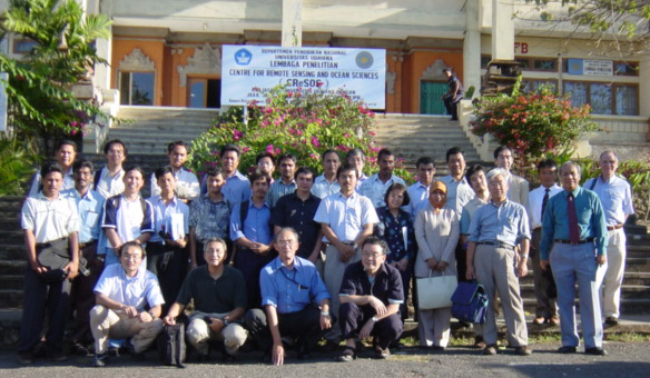
The International Symposium on Remote Sensing and Ocean Science in South East Asia was held at the inauguration of the Center for Remote Sensing and Ocean Science (CReSOS) from September 2 to 5, 2003, at the University of Udayana, Bukit Jimbaran Campus, Bali, Indonesia. The symposium was organized under the auspices of the National Space Development Agency of Japan (NASDA), the University of Udayana (UNUD), the National Institute of Aeronautics and Space (LAPAN), and the International Ocean Color Coordination Group (IOCCG). Twenty-one trainees (13 from Indonesia and 8 from other South East Asian countries) gathered for the meeting. (see list of trainees).
Day 1 (September 2)The first day of the symposium consisted of four keynote presentations, given by representatives from Indonesia, USA, Europe, and Japan, on the current status of satellite oceanography and its future prospects. The audience was presented with the latest knowledge regarding satellite remote sensing data, sea-surface temperature, ocean color, sea-surface wind, and ocean topography. Following the keynote presentations, more than twenty oceanic research scientists gave platform presentations on a range of topics, over six sessions.
Day 2 (September 3)The trainees were presented with lectures on ocean color and satellite oceanography data by several invited speakers from a range of countries (see list of presentations and participants).
A tutorial session was then conducted using 10 PCs for LINUX and SeaDAS and 7 PCs for WINDOWS. The main processing software used was SeaDAS. The satellite data (GLI, OCTS, SeaWiFS, ANSR, etc.) were installed on 10 of the PCs (see list of satellite data). Dr. Sasaoka and Prof. Saito taught the SeDAS data processing. The trainees gained valuable experience with SeaDAS data processing software and were able to produce chlorophyll concentration maps from the GLI and SeaWiFS data. Since the ocean color data was formatted in HDF, graphical data displays were relatively easy to obtain using the SeaDAS program. However, some of the other data, such as the SST of AMSR, requires greater data processing skills because of the different data format.
Day 3 (September 4 )The instructors demonstrated the processing of flat files using the SeaDAS program. Applying these new skills, trainees were able to process SST and sea-wind data, and were able to obtain chlorophyll concentration maps overlaid by ocean wind vector maps. The trainees were then grouped into four teams and were required to make some analyses without assistance from the tutors. In this exercise, the trainees gained experience with the data processing software and were able to process satellite ocean color data using the SeaDAS program (see the satellite ocean color data that was provided to the trainees).
Day 4 (September 5)The trainees analyzed the satellite ocean data and prepared presentations on different themes. Each team gave a 15-minute oral presentation. The themes are listed below.
| Team 1 | Seasonal monitoring of chlorophyll-a concentration change using multi-temporal remote-sensing data (a case study of the Java Sea in south Kalimantan). |
| Team 2 | Comparing chlophyll concentrations from May to July for the years 1998-2002. |
| Team 3 | Seasonal changes in chlorophyll concentration using monthly averaged SeaWiFS data in Indonesian waters. |
| Team 4 | Bio-physical characteristics of Southeast Asian water. |
Team 4 won first prize for their analysis of the correlation between chlorophyll concentration and sea-surface temperature. At the conclusion of the four-day training course, all the trainees were given training certificates .
During the training course, the trainees gained confidence and experience in the use of SeaDAS and LINUX data processing software. After four days of intensive training, the trainees were found to be quite proficient with the use of this software, and therefore we can consider this training course a great success for both the trainees and the organizing committee. It is likely that the knowledge gained by the trainees will lead to the increased use of these data analysis techniques in several South East Asian countries since, upon their return home, the trainees will be equipped to perform satellite ocean data analysis.
Overall, the instructors were well satisfied with the trainees' newly acquired skills and analytical presentations.
Back |Training & Education | Home